GIS solutions for electricity networks and street lighting

Centralise, improve the reliability of and use geographic data for your HV, MV and LV electricity networks and your street lighting networks. From field data collection to compliance checks, a structured GIS platform improves asset knowledge, construction monitoring, maintenance and decision-making.
Explore some use cases for our solutions dedicated to electricity networks and street lighting
Why is geospatial data critical for electricity networks?
Electricity infrastructure, as priority networks, has characteristics that make data management particularly demanding.
GIS data is more than a plan: it is the common foundation for operating, maintaining and safeguarding networks and planning investment.
Data therefore becomes the common foundation for:
- Extensive assets spread across the territory
- Underground or overhead assets, sometimes difficult to access
- Management often involving multiple stakeholders (surveyors, engineering consultancies, construction companies, local authorities, operators)
- Safety, compliance and traceability requirements
The main operational challenges
(and their impacts)
Continuous field data collection: the source of truth
Field feedback is often the main reason data becomes outdated:
- changes after construction work
- equipment replacements
- new assets not incorporated
Objective:
Capture updates as close to the field as possible, with input validation in the mobile application ConnectField
Interoperability: avoiding silos
Electricity data rarely lives in a single system:
- GIS
- Web GIS / management portal
- CMMS / maintenance
- service providers’ tools
Objective:
Transform your CAD (DWG) data into StaR-Elec GIS data with ConnectControl and ConnectServices.
Data reliability and completeness
Incorrect data leads to:
- location errors
- uncertainty about the type of assets
- less reliable operational decisions
Objective:
Close the gap between field conditions and GIS and ensure a usable asset database by connecting ConnectField and ConnectServices.
Traceability: who changed what, when and why
Traceability becomes essential for:
- audits
- contract management
- service continuity
- accountability
Objective:
Keep a history of changes and document decisions in ConnectServices.
Reliable data for electricity network management
RecoStar: checking as-built data
RecoStar formalises the rules for checking as-built deliverables. It helps verify data structure, completeness and consistency before integration into the GIS repository.
Key benefit:
Data shared on a clear, defined basis becomes a clear contractual deliverable, reducing ambiguity and rework.
Star-Elec: structuring electricity network data
Star-Elec is a data model intended to harmonise the description of electrical assets. It facilitates exchanges between stakeholders, GIS integration and consistent use of asset data.
Key benefit:
Data that is understandable, usable and comparable from one project to another.
Support the adoption of standards with relevant specialist solutions
Defining and adopting standards is not enough. Putting them into practice requires GIS tools designed for operational needs:
- in the field (data collection and assessment, updates at each project stage)
- in the office (quality checks, validation, analysis)
- when sharing data (visualisation, management)
Conclusion:
The standard defines what; relevant GIS tools make the how possible in everyday work.
GIS use cases for electricity networks

Electricity infrastructure audits
A complete solution — mobile application and Web GIS — to save time and improve reliability
Construction monitoring and operational quality control
A GIS software suite to structure your data and monitor network deployment work
Electricity network design and data editing
Take control of your infrastructure data from network design through to operation
Planning field operations on electricity networks
Plan and monitor your field operations: construction, audits, maintenance, connections…
Managing snagging resolution in the electricity sector
Track construction acceptance and the resolution of outstanding items accurately
Class A as-built surveys for your electricity networks
Centimetre accuracy with ConnectField for your Class A as-built surveys
Data quality control and StarElec compliance
A complete software suite to turn your data into a basis for decisions
Data validation at the end of construction
Manage construction work and monitor data quality and RecoStar compliance
A GIS software suite supporting electricity networks and street lighting
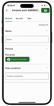
Collect
Collect and update field data, including for as-built surveys and asset audits.

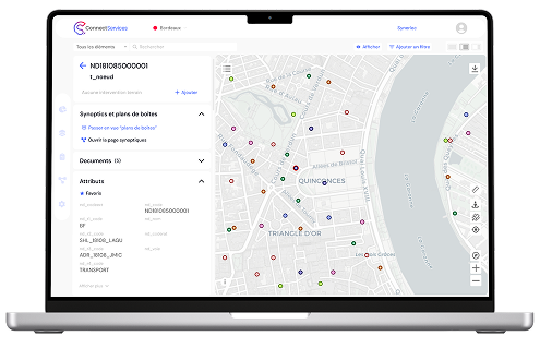
Use
Centralise data, monitor construction work and share a Web GIS repository between teams and partners.

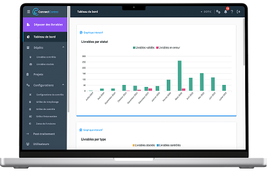
Check
Automate quality checks and verify deliverable compliance, particularly with Star-Elec and RecoStar.

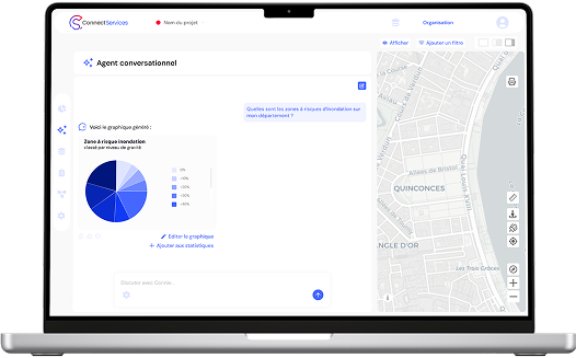
Query
Query operational data in natural language to quickly access useful information and facilitate analysis.

Turn your electricity network data into a reliable, usable repository
Discuss your needs with our experts to define the scope of data collection, structuring, quality control and use for electricity networks.