Designing AI for reliable and easily accessible data
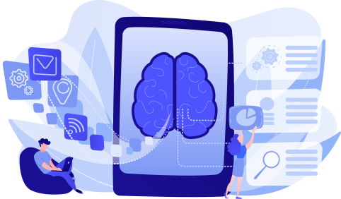
Intelligence artificielle en fonctionnement, en train de transformer de la donnée en langage naturelle et en graphiques

Our AI developments aim to provide users with business tools and solutions that enable them to process and manipulate data in order to fully leverage and enhance the value of their assets.
Our ambition is to facilitate access to data—its consultation, visualization, and analysis—through the integration of our AI.

Business-oriented Artificial Intelligence 

We are committed to delivering state-of-the-art solutions in data qualification and data quality, with the goal of improving infrastructure management.

In this context, our Research and Development team has been working for several years on Artificial Intelligence solutions designed to optimize processes and the analysis of GIS data.

With continuous monitoring, we constantly enhance and retrain our models to provide our clients with tangible benefits and ever-improving levels of performance.
Dotic - Connie, the AI assistant dedicated to analyzing your data

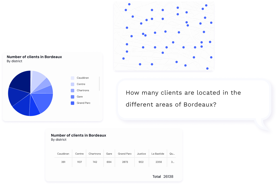
Connie, the AI assistant dedicated to analyzing your data

Dotic’s AI assistant has been designed and developed to deliver a new generation of Business Intelligence (GenBI), overcoming the traditional limitations of BI such as complexity of use, high costs, and slow analysis.

Available directly through our ConnectQuery solution, or integrated into your GIS tools or our WebGIS solutions, Connie is an AI assistant designed to simplify data analysis, making queries intuitive and accessible to all, without technical prerequisites.
It enables direct interaction with your data through an advanced conversational agent powered by natural language.

The goal is to accelerate decision-making through immediate responsiveness and interactive data exploration.

Optimize and enhance the reliability of field data collection with AI 

Improving the reliability of interventions and inspections while saving time is becoming an increasingly important challenge for organizations. Leveraging its deep understanding of clients’ operational challenges, Dotic offers Artificial Intelligence (AI) solutions tailored to real user needs and constraints.

In the field, our ConnectField mobile application integrates several AI models to accelerate and secure data capture:

These features help reduce field rework, ensure data reliability from the point of capture, and save valuable time on each intervention.

Discover how Connie is used within the ConnectServices WebGIS 
  • Visual recognition: automatic detection of poles, cabinets, enclosures, and other equipment from photos or videos.
  • Embedded OCR: reading serial numbers and identification codes directly from the smartphone camera.
  • Real-time validation: instant alerts in case of inconsistent values or missing information in the form.

FAQ – Artificial Intelligence and territorial data management

What is Artificial Intelligence applied to GIS data?

Artificial Intelligence applied to GIS data involves using algorithms to automatically analyze, qualify, and leverage geospatial data. It helps improve data quality, accelerate analysis, and make information more accessible to business teams, whether in the office or in the field.

How can AI improve the quality of territorial data?

AI enables the automatic detection of inconsistencies, missing information, and errors within datasets. By automating quality checks and supporting users during data entry, it helps ensure data reliability from the point of collection and maintain more consistent and usable databases.

What is the purpose of the AI assistant Connie developed by Dotic?

Connie is an AI assistant designed to simplify the analysis of territorial data. Through natural language interaction, it allows users to query their data without advanced technical skills. Connie therefore makes data exploration easier, accelerates analysis, and supports decision-making.

In which tools can the AI assistant Connie be used?

Connie can be used directly within the ConnectQuery solution, but also integrated into GIS tools or Dotic’s WebGIS solutions such as ConnectServices. The goal is to enable simple and fast interaction with data, regardless of the working environment.

How can AI support field teams during data collection?

In the field, AI helps automate certain data entry and validation tasks. For example, in the ConnectField application, it can automatically recognize equipment in a photo, read serial numbers using OCR, or detect errors in forms. These features help save time and reduce errors during field operations.

What are the benefits of AI for infrastructure management?

AI facilitates the analysis of infrastructure-related data (telecom networks, energy, public lighting, water, roads). It enables faster identification of anomalies, improves data quality, and optimizes maintenance, inventory, and inspection processes.

Can AI be used without advanced technical skills?

Yes. The AI solutions developed by Dotic are designed to be accessible to business users. Thanks to simple interfaces and the use of natural language, users can interact with their data without needing programming or data analysis skills.

Why integrate AI into infrastructure data management solutions?

Integrating AI unlocks the full potential of territorial data. It facilitates analysis, improves data reliability, and accelerates decision-making. Combined with GIS tools and field applications, AI becomes a powerful lever to better understand, manage, and enhance infrastructure assets.