GIS software to check, use and sustainably unlock the value of your infrastructure data
Dotic designs GIS software to improve the reliability and use of geographic data on networks and infrastructure, from field data collection to decision-support tools.
They trust us
Dotic supports local authorities, operators, network managers, engineering consultancies and businesses in improving the reliability, use and value of their infrastructure data.





















A software suite dedicated to the reliability, quality and value of geographic data
Solutions available as SaaS or integrated into your information system, giving you the autonomy you need to digitise, assess the quality of and use your data.
Collect
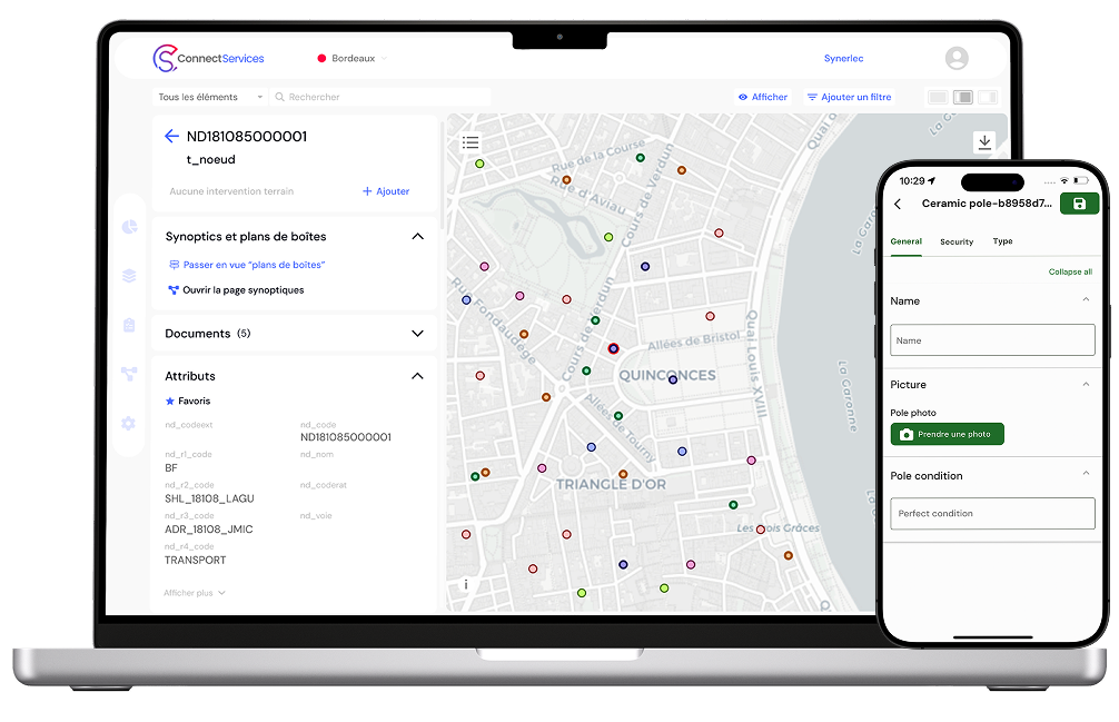
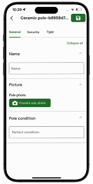
Collect your field data and improve the reliability of your reference datasets with our mobile GIS application.

Use
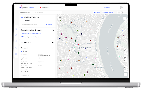
Visualise, edit, administer and analyse your infrastructure data with our Web GIS.

Check
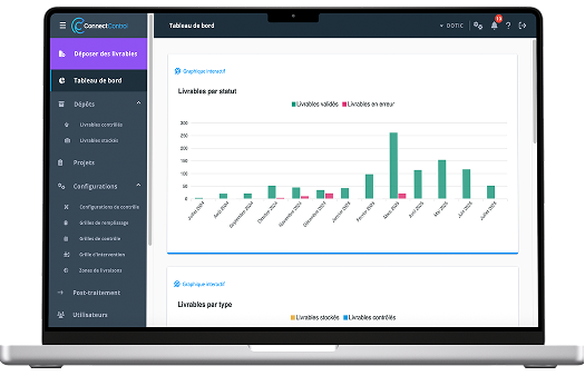
Model, structure and check the quality of your infrastructure data.

Query
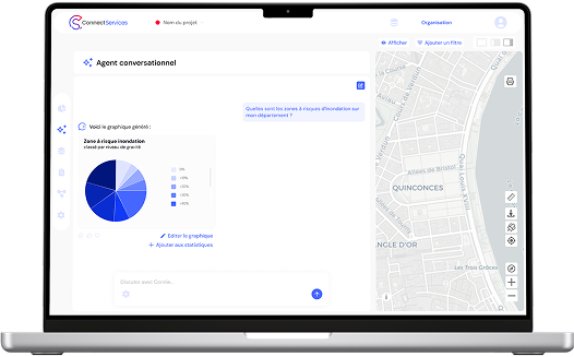
Query your data in natural language using AI designed for GIS.

Dotic, GIS software developer for networks and infrastructure
Dotic is a GIS software developer specialising in the management of geographic data on networks and infrastructure. Its solutions collect, centralise, check, edit, analyse and query data to help managers, operating organisations, operators, local authorities, engineering consultancies and businesses improve the reliability of their reference datasets and manage their activities.


Who are our solutions for?
Our solutions are designed for all infrastructure stakeholders: public and private operating organisations and managers, operators, construction companies, integrators, engineering consultancies and consulting firms that want to improve the reliability, management and value of their GIS data.
They cover fibre (FTTH), energy (electricity, gas) and water networks, and adapt to all types of infrastructure: public lighting, electric vehicle charging infrastructure, LoRaWAN networks…
Our expertise
With 18 years of expertise in infrastructure data management and geographic information systems (GIS), Dotic develops an ecosystem of solutions to improve the reliability, structure and value of territorial data.
From data collection and updates to quality control, visualisation and management, our tools make data accessible and usable for every user group, from specialists to operational teams. Designed with sector professionals, our solutions fit operational constraints and support sustainable network and infrastructure management (fibre optics/FTTH, electricity, water…).

Dotic’s georeferencing expertise allows us to support you throughout your projects and quickly deploy solutions that meet operational GIS and Data needs.

Dotic designs, adapts and integrates GIS software to meet the operational needs of network and infrastructure managers. This expertise connects business needs, data and existing information systems.

Expertise dedicated to structuring, standardising and checking the quality of geolocated data, and scaling up its processing. The aim is to make this data comparable, usable and reliable by automating processing as much as possible to save time and improve consistency and robustness.

Dotic integrates artificial intelligence into its GIS solutions to simplify the querying and use of geospatial data, automate certain tasks and assist users with analysis and checks. AI is integrated into tools when it provides practical, operational value.
Public sector organisations: find our solutions on these platforms


FAQ – Frequently asked questions about Dotic GIS software
A project?